

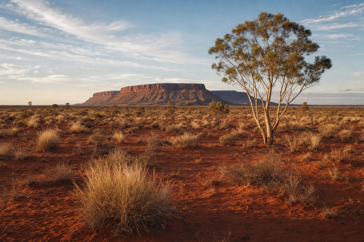
Australia’s broad climate regions include a tropical north, subtropical areas, a largely dry interior and temperate southern areas. These labels summarise recurring temperature and rainfall patterns rather than describing the weather everywhere at once. Local conditions can differ because latitude, distance from the sea, mountain ranges and the chosen classification all affect how the continent is divided.
Key takeaways for Australian readers
- Climate regions group places that share broad temperature and rainfall patterns.
- Northern tropical areas have distinct wet and dry seasons associated with movement of the tropical rain belt.
- Much of Australia’s interior is desert, with grassland around parts of that dry core.
- Temperate southern examples have more pronounced summer-to-winter differences than the tropical north.
- The Great Dividing Range and distance from the sea modify the broad continental pattern.
- A climate classification is not a report of current conditions or a weather forecast.
What an Australian climate region describes
A climate region is a way of grouping places with broadly similar patterns of temperature and rainfall. The Bureau of Meteorology’s Australian climate zones overview explains that latitude is important, but it does not account for every local difference.
This distinction matters on a continent with tropical, subtropical, dry and temperate areas. A regional label simplifies a complicated geographic pattern so that broad similarities can be discussed. It should not be read as a claim that every place within the same coloured area on a map experiences identical conditions.
Climate descriptions also operate over a different frame from everyday weather. A climate map organises recurring patterns represented by its underlying classification. It does not say what the temperature or rainfall is at a particular place today, nor does it supply a forecast for tomorrow or the coming season.
The boundaries should therefore be read as part of an explanatory model. Their meaning depends on what has been classified. A map based on temperature and humidity may divide Australia differently from one based on seasonal rainfall or native vegetation. Each can be useful while answering a different geographic question.
The tropical north and its wet and dry seasons
Australia’s broad climatic pattern includes tropical areas in the north. The Bureau identifies Darwin and Cairns as northern tropical examples with distinct wet and dry seasons associated with the movement of the tropical rain belt. This provides a useful way to understand seasonality in the tropical north without assuming that northern places are interchangeable.
Here, “wet” and “dry” describe the broad seasonal organisation of rainfall. The labels do not mean that every day in one period is rainy or that rain cannot occur in the other. They also do not provide local totals, thresholds or fixed dates. Those details are outside what a broad climate-zone description can establish.
Darwin and Cairns can both illustrate tropical seasonality, yet their inclusion in the same broad discussion should not erase geographic differences. The Bureau notes that distance from the sea and ocean influences help shape Australia’s climate pattern. It also explains that east and west coasts at similar latitudes can differ, which is one reason latitude alone cannot provide a complete reading.
For readers comparing northern areas, the sound interpretation is deliberately limited: tropical northern climates can have distinct wet and dry seasons linked with the tropical rain belt. A current observation or location-specific forecast is still needed to understand actual weather at a given time.
The dry interior and surrounding grasslands
Much of Australia’s interior is desert, surrounded in places by grassland, according to the Bureau’s climate-zone summary. This dry interior is a major part of the continent’s broad physical-geography pattern, but “desert” should not be interpreted as a complete description of every inland location.
The wording “much of” and “in places” is important. It signals that the interior is not presented as one perfectly uniform zone. Grassland around parts of the desert core adds another broad category, while classification boundaries show transitions rather than proving that conditions change abruptly at a single line.
A map may visually emphasise the scale of the dry interior, but scale should not be mistaken for local detail. Broad zones cannot supply current rainfall, local temperature or the timing of a weather event. They also do not justify assigning the same seasonal experience to every inland community.
The interior’s relationship with surrounding regions is best understood as a continental pattern. Tropical and subtropical areas appear elsewhere in the national picture, while temperate areas occur in the south. These categories help organise geography, but their usefulness depends on keeping the level of detail clear.
Temperate southern and eastern coasts
Temperate areas form part of southern Australia’s broad climate geography. The Bureau uses Hobart and Melbourne as temperate examples, noting that differences between summer and winter are more pronounced there than in the tropical north. This is a comparison of broad seasonal patterns, not a claim that the two cities have identical climates.
The word “temperate” can be useful when contrasting southern seasonality with tropical wet-and-dry seasonality. Even so, it does not provide a complete local profile. It does not, by itself, specify rainfall amounts, temperature values or current conditions. Nor does it mean every southern or eastern coastal place belongs to one undifferentiated band.
Coastal geography complicates any simple north-to-south sequence. Ocean influences help explain why east and west coasts at similar latitudes can differ. Consequently, two locations aligned at a comparable latitude should not automatically be assigned the same climatic character.
This is also why a national map should be used as an orientation tool. It can show how temperate areas fit into the continental pattern, while more specific sources are needed for questions about an individual location. The map’s broad label remains informative as long as its limits stay visible.
How oceans and mountains complicate the map
Latitude is a major part of Australia’s climate geography, but the Bureau explicitly notes that it does not determine every local difference. The Great Dividing Range and distance from the sea modify the broad pattern. Ocean influences also contribute to differences between east and west coasts at similar latitudes.
These factors explain why climate regions are not simply horizontal bands. If latitude were the only influence, places at a similar north–south position would be expected to fit the same simple category. The Bureau’s overview instead presents a geography shaped by multiple influences operating across the continent.
Distance from the sea distinguishes coastal influence from conditions farther inland at the broadest level. The Great Dividing Range introduces another geographic modifier. The source supports recognising these influences, but it does not support inventing local values or assuming a particular effect for every town, valley or coastal district.
Readers should therefore resist reading a zone boundary too literally. A classification line helps separate categories on a map, but the real geographic pattern can be more complicated than a clean border suggests. The appropriate conclusion is that mountains, oceans, latitude and inland position all matter to the broad arrangement, not that one factor gives a complete local answer.
Why different climate classifications answer different questions
The Bureau offers different Australian classifications based on temperature and humidity, seasonal rainfall, or native vegetation. These maps do not all answer the same question. A disagreement between their boundaries is therefore not necessarily a contradiction; it can reflect a difference in the feature being classified.
A temperature-and-humidity classification groups places according to those dimensions. A seasonal-rainfall classification focuses on how rainfall is arranged through the year. A native-vegetation classification uses another basis again. Readers need to identify that basis before comparing colours, labels or boundaries.
This leads to a straightforward reading method:
- Identify the classification. Check whether the map concerns temperature and humidity, seasonal rainfall or native vegetation.
- Keep the scale in view. National regions show broad patterns rather than every local variation.
- Read labels qualitatively. Do not add numerical thresholds, monthly values or dates that the source does not provide.
- Compare like with like. Boundaries from classifications built for different questions need not align.
- Separate climate from weather. A regional category does not report current observations or future conditions.
This approach preserves the value of each map without demanding that one classification perform every task. It also helps explain why the same place may be described differently when the subject changes.
How to read climate sources without mistaking them for a weather forecast
Start by asking what the source represents. The Bureau’s climate-zone material is a geographic overview of recurring patterns. It is not a live weather display, an observation for a named place or a prediction of what will happen next.
Next, examine the language closely. Terms such as tropical, desert, grassland and temperate describe broad categories. Wet and dry seasons describe seasonal rainfall organisation in northern tropical examples. None of these labels supplies an exact daily condition.
Then consider geographic modifiers. Latitude helps establish the continental arrangement, but distance from the sea, ocean influence and the Great Dividing Range complicate it. This is why broad comparisons are informative while local assumptions remain unreliable.
Finally, match the source to the question. Use climate-zone information to understand regional geography. For present conditions or a forecast, consult the relevant Bureau material designed for that purpose rather than extending a climate average or category beyond its scope.
A climate region is a summary of recurring geographic patterns. It is not a statement that every location shares identical conditions, and it is not a prediction of upcoming weather.
This overview concerns mainland Australia and Tasmania at a broad geographic scale. It is not intended as a complete account of Australia’s external territories, and it does not replace place-specific information.
Sources
- Bureau of Meteorology — Australian climate zones. Source checked for this article on 13 September 2026.